Gambos Mapathon - Event Report
- Date
- Saturday 6 March 2021
- Time
- 13:00 (WAT)
- Location
- Online, Angola (Europe, Middle East & Africa)
- Organisers
- António Valter Chisingui, Instituto Superior de Ciências de Educação da Huíla

How did your event celebrate open data?
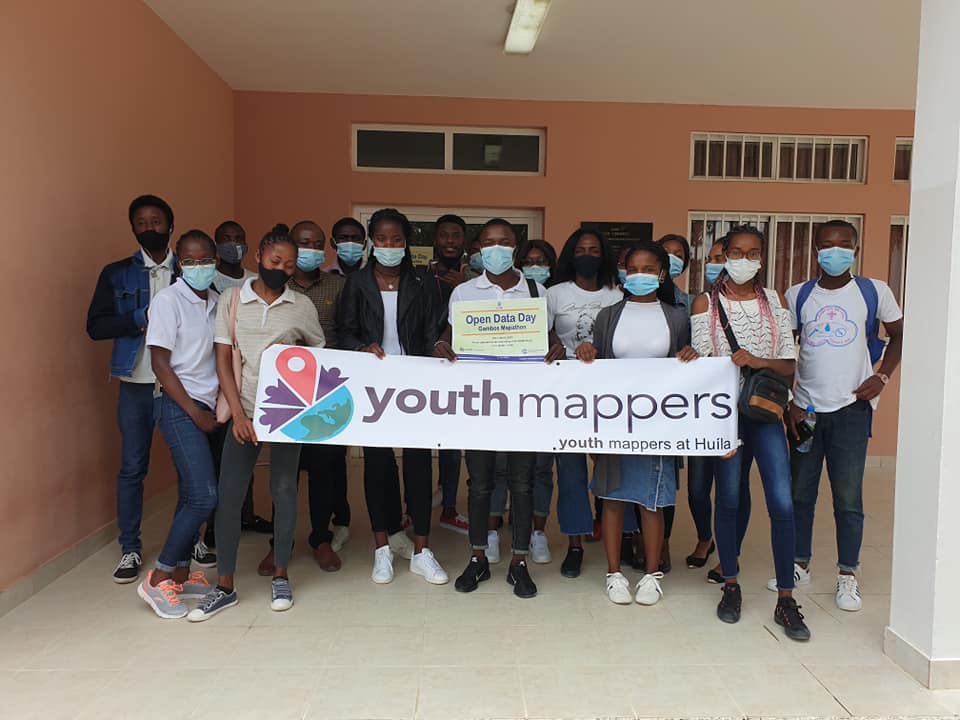
On the sixth of March 2021, in the ISCED-Huíla computer room number two and on the StreamYard an online platform on Facebook YouthMappers at Huíla, the first open data mapping of the chapter Youth Mappers at Huíla took place, which included the participation of several young university students, including volunteers who participated in open data training with the OpenStreetMap platform, under the guidance of Professor Doctor António Valter Chisingui, president of the chapter, and the technical training team, in a period of approximately four hours (from nine to thirteen o'clock). The Mapathon was attended by seventeen young volunteers, six men and eleven women respectively.
Lessons learned from your event
Our event was celebrated with the selection of a region in the Southwest of Angola, whose economic and social needs deserve a lot of attention on the part of government institutions. The selection criteria for mapping in the Gambos region was based on the successive drought cycles that have plagued the community for some years and the difficulty in accessing drinking water, as well as the main public services in the municipality. We learn't about mapping techniques using OpenStreetMap.
Why do you love Open Data Day?
We like Open Data Day because it is a collective and colabotative opportunity to map the different entities in our region and can contribute to decision-making for the improvement of social issues in our community, providing open data.
Did you or your team produce any resources (datasets/tools/maps/code/etc) during your Open Data Day celebrations?
We produced geographic data, we mapped roads, buildings, farms, water facilities, rivers and lakes in Gambos region, Angola.
